 vesseltracker.com
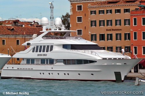
 The Lady K
Current Status
Where is the vessel?
The Lady K is currently in Near Victoria, based on AIS data received about 1h ago.
Latest AIS update:
Current position: 48.42653° N, 123.38202° W (Near Victoria)
Average speed (last 7 days): Loading…
Average speed (last 30 days): Loading…
Vessel profile: The Lady K is a Service Ship with dimensions 43m x 7m.
This page combines live AIS, route history, probable destination signals, nearby traffic, and port activity for practical vessel monitoring.
The current position of vessel The Lady K is 48.42653 lat / -123.38202 lng. Updated: 2026-05-15 07:58:22 UTCNearest reference points:
- Near Victoria
- Near ESQUIMALT
- Near North Saanich
Currently sailing under the flag of Cayman Is ![]()
Details:
Live Vessel The Lady K Analytics (details, animations, etc.)
Recent AIS points (UTC):
2026-05-15 04:37:22 UTC · 48.42654, -123.38205 · SOG 0 kn · COG 302°2026-05-15 06:04:24 UTC · 48.42653, -123.38203 · SOG 0 kn · COG 302°
2026-05-15 07:22:24 UTC · 48.42653, -123.38202 · SOG 0 kn · COG 303°
2026-05-15 07:58:22 UTC · 48.42653, -123.38202 · SOG 0 kn · COG 303°