 vesseltracker.com
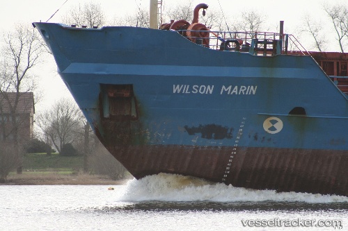
 A. M. K. MARIN
Current Status
Where is the vessel?
A. M. K. MARIN is currently in Near Raouché, based on AIS data received about 939d ago.
Latest AIS update:
Current position: 33.95011° N, 35.43217° E (Near Raouché)
Average speed (last 7 days): Loading…
Average speed (last 30 days): Loading…
Vessel profile: A. M. K. MARIN is a Bulk Carrier with dimensions 105m x 15m.
This page combines live AIS, route history, probable destination signals, nearby traffic, and port activity for practical vessel monitoring.
The current position of vessel A. M. K. MARIN is 33.95011 lat / 35.43217 lng. Updated: 2023-09-29 19:25:27 UTCNearest reference points:
- Near DBAIYEH
- Near Zouk
- Near Tripoli
Currently sailing under the flag of Honduras ![]()
A. M. K. MARIN built in 1978 year
Deadweight:
5845 tDetails:
Live Vessel A. M. K. MARIN Analytics (details, animations, etc.)
Recent AIS points (UTC):
2023-09-29 19:25:27 UTC · 33.95011, 35.43217 · SOG 8.7 kn · COG 271°