 vesseltracker.com
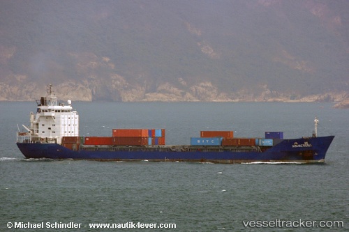
 ALIMAN
Current Status
Where is the vessel?
ALIMAN is currently in Near Tusdeer Free Zone, based on AIS data received about 1h ago.
Latest AIS update:
Current position: 21.47211° N, 39.03671° E (Near Tusdeer Free Zone)
Average speed (last 7 days): Loading…
Average speed (last 30 days): Loading…
Vessel profile: ALIMAN is a General Cargo with dimensions m x m.
This page combines live AIS, route history, probable destination signals, nearby traffic, and port activity for practical vessel monitoring.
The current position of vessel ALIMAN is 21.47211 lat / 39.03671 lng. Updated: 2026-05-16 14:04:50 UTCNearest reference points:
- Near Tusdeer Free Zone
- Near Jeddah
- 10 nm SW of Jeddah
Currently sailing under the flag of Honduras ![]()
Details:
Live Vessel ALIMAN Analytics (details, animations, etc.)
Recent AIS points (UTC):
2026-05-16 11:02:01 UTC · 20.91101, 38.95820 · SOG 12.3 kn · COG 337°2026-05-16 11:53:00 UTC · 21.07430, 38.89877 · SOG 12.2 kn · COG 346°
2026-05-16 13:33:47 UTC · 21.38896, 39.00386 · SOG 11.3 kn · COG 15°
2026-05-16 14:04:50 UTC · 21.47211, 39.03671 · SOG 6.8 kn · COG 20°