 vesseltracker.com
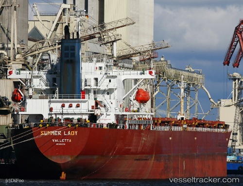
 PORTLAND IV
Current Status
Where is the vessel?
PORTLAND IV is currently in 19 nm NE of Mina Saud, based on AIS data received about 4d ago.
Latest AIS update:
Current position: 28.89108° N, 48.71827° E (19 nm NE of Mina Saud)
Average speed (last 7 days): Loading…
Average speed (last 30 days): Loading…
Vessel profile: PORTLAND IV is a Bulk Carrier with dimensions m x m.
This page combines live AIS, route history, probable destination signals, nearby traffic, and port activity for practical vessel monitoring.
The current position of vessel PORTLAND IV is 28.89108 lat / 48.71827 lng. Updated: 2026-04-20 01:20:58 UTCNearest reference points:
- 25 nm W of Soroosh (Cyrus) Terminal
- Near Mina Al Zour
- 19 nm SW of Soroosh (Cyrus) Terminal
Currently sailing under the flag of Saint Kitts and Nevis ![]()
Details:
Live Vessel PORTLAND IV Analytics (details, animations, etc.)
Recent AIS points (UTC):
2026-04-20 01:20:58 UTC · 28.89108, 48.71827 · SOG 7 kn · COG -1°2026-04-20 01:20:58 UTC · 28.89108, 48.71827 · SOG 7 kn · COG -1°
2026-04-20 01:20:58 UTC · 28.89108, 48.71827 · SOG 7 kn · COG -1°
2026-04-20 01:20:58 UTC · 28.89108, 48.71827 · SOG 7 kn · COG -1°