 vesseltracker.com
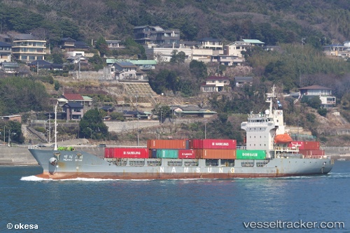
 MM MADRID
Current Status
Where is the vessel?
MM MADRID is currently in 11 nm E of SHINAS, based on AIS data received about 1h ago.
Latest AIS update:
Current position: 24.68322° N, 56.65548° E (11 nm E of SHINAS)
Average speed (last 7 days): Loading…
Average speed (last 30 days): Loading…
Vessel profile: MM MADRID is a Container Ship with dimensions 16m x 107m.
This page combines live AIS, route history, probable destination signals, nearby traffic, and port activity for practical vessel monitoring.
The current position of vessel MM MADRID is 24.68322 lat / 56.65548 lng. Updated: 2026-05-16 13:44:11 UTCNearest reference points:
- 18 nm SE of SHINAS
- 17 nm SE of Shinas
- Near Fujairah
Currently sailing under the flag of St.Kitts and Nevis ![]()
MM MADRID built in 1996 year
Deadweight:
5918 tDetails:
Live Vessel MM MADRID Analytics (details, animations, etc.)
Recent AIS points (UTC):
2026-05-16 10:29:16 UTC · 24.51787, 56.60779 · SOG 0 kn · COG 144°2026-05-16 12:13:51 UTC · 24.51656, 56.60988 · SOG 4.2 kn · COG 126°
2026-05-16 13:02:32 UTC · 24.59082, 56.63128 · SOG 8.3 kn · COG 11°
2026-05-16 13:44:11 UTC · 24.68322, 56.65548 · SOG 8.1 kn · COG 16°