 vesseltracker.com
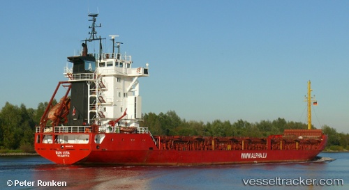
 LOS AMIGOS
Current Status
Where is the vessel?
LOS AMIGOS is currently in 28 nm N of Al Marj, based on AIS data received about 3h ago.
Latest AIS update:
Current position: 32.94768° N, 20.93946° E (28 nm N of Al Marj)
Average speed (last 7 days): Loading…
Average speed (last 30 days): Loading…
Vessel profile: LOS AMIGOS is a General Cargo with dimensions m x m.
This page combines live AIS, route history, probable destination signals, nearby traffic, and port activity for practical vessel monitoring.
The current position of vessel LOS AMIGOS is 32.94768 lat / 20.93946 lng. Updated: 2026-05-13 19:28:12 UTCNearest reference points:
- 61 nm N of Al Marj
- Near Banghazi
- Near BENGHAZI
Currently sailing under the flag of Saint Kitts and Nevis ![]()
Details:
Live Vessel LOS AMIGOS Analytics (details, animations, etc.)
Recent AIS points (UTC):
2026-05-13 18:16:41 UTC · 32.99530, 21.15396 · SOG 9.2 kn · COG 259°2026-05-13 19:10:11 UTC · 32.95838, 20.99411 · SOG 9.4 kn · COG 261°
2026-05-13 19:28:12 UTC · 32.94768, 20.93946 · SOG 9.4 kn · COG 259°
2026-05-13 19:28:12 UTC · 32.94768, 20.93946 · SOG 9.4 kn · COG 259°