 vesseltracker.com
 RIDER
RIDER
Current Status
Where is the vessel?
RIDER is currently in 169 nm SW of Okha, based on AIS data received about 1h ago.
Latest AIS update:
Current position: 21.20834° N, 66.37251° E (169 nm SW of Okha)
Average speed (last 7 days): Loading…
Average speed (last 30 days): Loading…
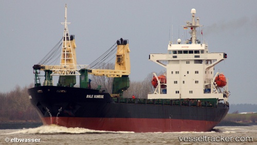
Vessel profile: RIDER is a General Cargo with dimensions m x m.
This page combines live AIS, route history, probable destination signals, nearby traffic, and port activity for practical vessel monitoring.
The current position of vessel RIDER is 21.20834 lat / 66.37251 lng. Updated: 2026-05-15 07:24:32 UTCNearest reference points:
- 231 nm SW of Keti Bandar
- 84 nm SW of Keti Bandar
Currently sailing under the flag of Saint Kitts and Nevis ![]()
Details:
Live Vessel RIDER Analytics (details, animations, etc.)
Recent AIS points (UTC):
2026-05-15 04:25:39 UTC · 21.36206, 66.71128 · SOG 7.3 kn · COG 238°2026-05-15 04:56:09 UTC · 21.33570, 66.65411 · SOG 6.8 kn · COG 243°
2026-05-15 07:24:32 UTC · 21.20834, 66.37251 · SOG 7.3 kn · COG 241°
2026-05-15 07:24:32 UTC · 21.20834, 66.37251 · SOG 7.3 kn · COG 241°