 vesseltracker.com
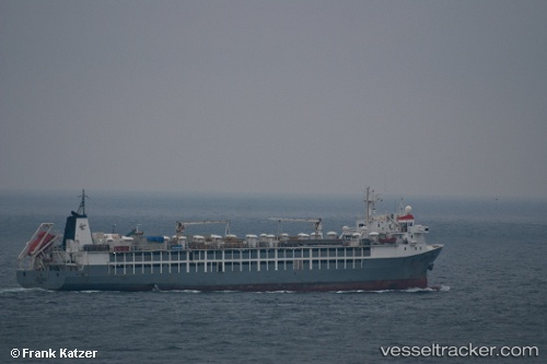
 MAYAR
MAYAR
Current Status
Where is the vessel?
MAYAR is currently in Near Jiddah, based on AIS data received less than 1h ago.
Latest AIS update:
Current position: 21.47603° N, 39.16329° E (Near Jiddah)
Average speed (last 7 days): Loading…
Average speed (last 30 days): Loading…
Vessel profile: MAYAR is a Livestock Carrier with dimensions m x m.
This page combines live AIS, route history, probable destination signals, nearby traffic, and port activity for practical vessel monitoring.
The current position of vessel MAYAR is 21.47603 lat / 39.16329 lng. Updated: 2026-05-15 01:04:12 UTCNearest reference points:
- Near Jeddah
- Near Tusdeer Free Zone
- 10 nm SW of Jeddah
Currently sailing under the flag of Saint Kitts and Nevis ![]()
Details:
Live Vessel MAYAR Analytics (details, animations, etc.)
Recent AIS points (UTC):
2026-05-14 18:11:38 UTC · 21.47173, 39.16501 · SOG 22.5 kn · COG 274°2026-05-14 22:40:53 UTC · 21.47616, 39.16326 · SOG 0 kn · COG 274°
2026-05-14 23:58:53 UTC · 21.47599, 39.16327 · SOG 0 kn · COG 274°
2026-05-15 01:04:12 UTC · 21.47603, 39.16329 · SOG 0 kn · COG 274°