 vesseltracker.com
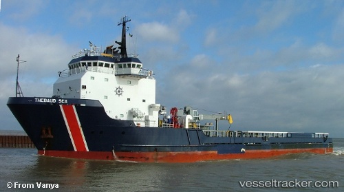
 SERENITY
Current Status
Where is the vessel?
SERENITY is currently in Near RUMELI FENERI, based on AIS data received about 23d ago.
Latest AIS update:
Current position: 41.32914° N, 29.18683° E (Near RUMELI FENERI)
Average speed (last 7 days): Loading…
Average speed (last 30 days): Loading…
Vessel profile: SERENITY is a Offshore Supply Ship with dimensions 16m x 81m.
This page combines live AIS, route history, probable destination signals, nearby traffic, and port activity for practical vessel monitoring.
The current position of vessel SERENITY is 41.32914 lat / 29.18683 lng. Updated: 2026-04-20 03:20:42 UTCNearest reference points:
- Near RUMELI FENERI
- 19 nm NE of RUMELI FENERI
- Near Istinye/Istambul
Currently sailing under the flag of St.Kitts and Nevis ![]()
SERENITY built in 1999 year
Deadweight:
3406 tDetails:
Live Vessel SERENITY Analytics (details, animations, etc.)
Recent AIS points (UTC):
2026-04-20 03:20:42 UTC · 41.32914, 29.18683 · SOG 0.9 kn · COG 350°