 vesseltracker.com
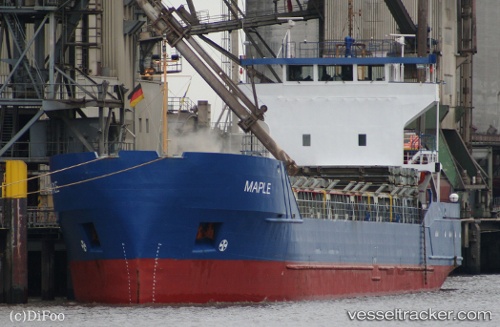
 ZAMZAM A
Current Status
Where is the vessel?
ZAMZAM A is currently in Near Port Said West, based on AIS data received less than 1h ago.
Latest AIS update:
Current position: 31.24764° N, 32.30233° E (Near Port Said West)
Average speed (last 7 days): Loading…
Average speed (last 30 days): Loading…
Vessel profile: ZAMZAM A is a General Cargo Ship with dimensions 88m x 13m.
This page combines live AIS, route history, probable destination signals, nearby traffic, and port activity for practical vessel monitoring.
The current position of vessel ZAMZAM A is 31.24764 lat / 32.30233 lng. Updated: 2026-04-25 12:58:14 UTCNearest reference points:
- Near Port Said East
- Near Port Said
- 14 nm N of Port Said
Currently sailing under the flag of St.Kitts and Nevis ![]()
ZAMZAM A built in 1985 year
Deadweight:
3747 tDetails:
Live Vessel ZAMZAM A Analytics (details, animations, etc.)
Recent AIS points (UTC):
2026-04-25 10:04:36 UTC · 31.24921, 32.30356 · SOG 1.6 kn · COG 210°2026-04-25 10:10:36 UTC · 31.24772, 32.30248 · SOG 0 kn · COG 203°
2026-04-25 12:26:39 UTC · 31.24667, 32.30167 · SOG 0 kn · COG -1°
2026-04-25 12:58:14 UTC · 31.24764, 32.30233 · SOG 0 kn · COG 203°