 vesseltracker.com
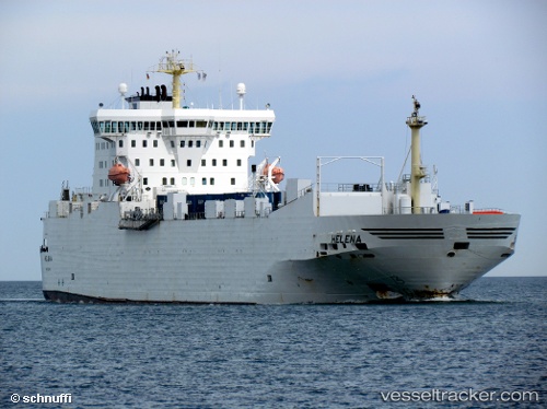
 PEACELAND
Current Status
Where is the vessel?
PEACELAND is currently in Near Sharjah, based on AIS data received less than 1h ago.
Latest AIS update:
Current position: 25.40492° N, 55.19267° E (Near Sharjah)
Average speed (last 7 days): Loading…
Average speed (last 30 days): Loading…
Vessel profile: PEACELAND is a Ro-Ro Cargo with dimensions m x m.
This page combines live AIS, route history, probable destination signals, nearby traffic, and port activity for practical vessel monitoring.
The current position of vessel PEACELAND is 25.40492 lat / 55.19267 lng. Updated: 2026-04-30 22:26:03 UTCNearest reference points:
- Near Free Port
- Near DUBAI
- Near Sharjah
Currently sailing under the flag of Saint Kitts and Nevis ![]()
Details:
Live Vessel PEACELAND Analytics (details, animations, etc.)
Recent AIS points (UTC):
2026-04-30 17:50:02 UTC · 25.40446, 55.19393 · SOG 0 kn · COG 328°2026-04-30 19:23:47 UTC · 25.40333, 55.19167 · SOG 0 kn · COG -1°
2026-04-30 19:47:03 UTC · 25.40435, 55.19335 · SOG 0 kn · COG 358°
2026-04-30 22:26:03 UTC · 25.40492, 55.19267 · SOG 0.2 kn · COG 27°