 vesseltracker.com
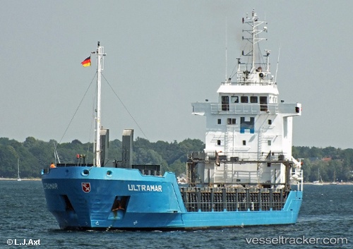
 GOCEK
GOCEK
Current Status
Where is the vessel?
GOCEK is currently in Near TULCEA, based on AIS data received less than 1h ago.
Latest AIS update:
Current position: 45.29222° N, 28.77210° E (Near TULCEA)
Average speed (last 7 days): Loading…
Average speed (last 30 days): Loading…
Vessel profile: GOCEK is a General Cargo with dimensions m x m.
This page combines live AIS, route history, probable destination signals, nearby traffic, and port activity for practical vessel monitoring.
The current position of vessel GOCEK is 45.29222 lat / 28.77210 lng. Updated: 2026-05-16 07:28:29 UTCNearest reference points:
- Near TULCEA
- 12 nm NE of TULCEA
- Near Giurgiulesti
Currently sailing under the flag of Saint Kitts and Nevis ![]()
Details:
Live Vessel GOCEK Analytics (details, animations, etc.)
Recent AIS points (UTC):
2026-05-16 03:35:20 UTC · 45.22437, 28.72556 · SOG 0.2 kn · COG 240°2026-05-16 04:08:19 UTC · 45.22426, 28.72555 · SOG 0 kn · COG 248°
2026-05-16 05:35:16 UTC · 45.22428, 28.72556 · SOG 0 kn · COG 246°
2026-05-16 07:28:29 UTC · 45.29222, 28.77210 · SOG 9.4 kn · COG 99°