 vesseltracker.com
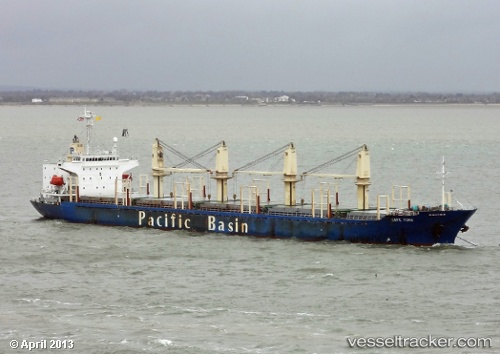
 LORD HAMMOUR
Current Status
Where is the vessel?
LORD HAMMOUR is currently in 11 nm N of As Suways (Suez), based on AIS data received about 1h ago.
Latest AIS update:
Current position: 30.14365° N, 32.56999° E (11 nm N of As Suways (Suez))
Average speed (last 7 days): Loading…
Average speed (last 30 days): Loading…
Vessel profile: LORD HAMMOUR is a Bulk Carrier with dimensions m x m.
This page combines live AIS, route history, probable destination signals, nearby traffic, and port activity for practical vessel monitoring.
The current position of vessel LORD HAMMOUR is 30.14365 lat / 32.56999 lng. Updated: 2026-04-26 06:53:16 UTCNearest reference points:
- Near SUEZ CANAL
- Near As Suways (Suez)
- Near SUEZ PORT
Currently sailing under the flag of Saint Kitts and Nevis ![]()
Details:
Live Vessel LORD HAMMOUR Analytics (details, animations, etc.)
Recent AIS points (UTC):
2026-04-26 01:22:45 UTC · 29.85265, 32.58384 · SOG 0 kn · COG 304°2026-04-26 05:57:52 UTC · 29.99256, 32.58470 · SOG 9.7 kn · COG 347°
2026-04-26 06:53:16 UTC · 30.14365, 32.56999 · SOG 9.3 kn · COG 359°
2026-04-26 06:53:16 UTC · 30.14365, 32.56999 · SOG 9.3 kn · COG 359°