 vesseltracker.com
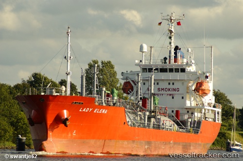
 AMIR GAS
Current Status
Where is the vessel?
AMIR GAS is currently in Near JAIGAD, based on AIS data received less than 1h ago.
Latest AIS update:
Current position: 17.29389° N, 73.10419° E (Near JAIGAD)
Average speed (last 7 days): Loading…
Average speed (last 30 days): Loading…
Vessel profile: AMIR GAS is a Lpg Tanker with dimensions m x m.
This page combines live AIS, route history, probable destination signals, nearby traffic, and port activity for practical vessel monitoring.
The current position of vessel AMIR GAS is 17.29389 lat / 73.10419 lng. Updated: 2026-05-14 17:57:55 UTCNearest reference points:
- Near JAIGAD
- 49 nm W of Pernem
- Near Mumbai
Currently sailing under the flag of Saint Kitts and Nevis ![]()
Details:
Live Vessel AMIR GAS Analytics (details, animations, etc.)
Recent AIS points (UTC):
2026-05-14 13:43:28 UTC · 17.29415, 73.10455 · SOG 0.1 kn · COG 316°2026-05-14 15:15:55 UTC · 17.29416, 73.10453 · SOG 0.4 kn · COG 320°
2026-05-14 16:46:23 UTC · 17.29404, 73.10441 · SOG 0.5 kn · COG 331°
2026-05-14 17:57:55 UTC · 17.29389, 73.10419 · SOG 0 kn · COG 338°