 vesseltracker.com
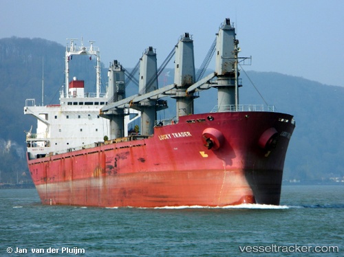
 NEPTUNE J
Current Status
Where is the vessel?
NEPTUNE J is currently in 35 nm N of Gross Koris, based on AIS data received about 2h ago.
Latest AIS update:
Current position: 14.24122° N, 52.30766° E (35 nm N of Gross Koris)
Average speed (last 7 days): Loading…
Average speed (last 30 days): Loading…
Vessel profile: NEPTUNE J is a Bulk Carrier with dimensions m x m.
This page combines live AIS, route history, probable destination signals, nearby traffic, and port activity for practical vessel monitoring.
The current position of vessel NEPTUNE J is 14.24122 lat / 52.30766 lng. Updated: 2026-05-13 23:27:06 UTCNearest reference points:
- 110 nm NE of Gross Koris
- 106 nm S of Port Raysut
- 103 nm S of Port Raysut
Currently sailing under the flag of Saint Kitts and Nevis ![]()
Details:
Live Vessel NEPTUNE J Analytics (details, animations, etc.)
Recent AIS points (UTC):
2026-05-13 19:43:10 UTC · 14.39574, 52.78589 · SOG 8.2 kn · COG 251°2026-05-13 20:48:55 UTC · 14.35217, 52.64010 · SOG 8.3 kn · COG 252°
2026-05-13 22:36:41 UTC · 14.27351, 52.41350 · SOG 7.6 kn · COG 260°
2026-05-13 23:27:06 UTC · 14.24122, 52.30766 · SOG 7.8 kn · COG 259°