 vesseltracker.com
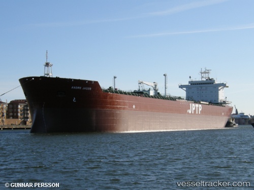
 CHIWETALU
Current Status
Where is the vessel?
CHIWETALU is currently in 17 nm W of WARRI, based on AIS data received about 1h ago.
Latest AIS update:
Current position: 5.47492° N, 5.44111° E (17 nm W of WARRI)
Average speed (last 7 days): Loading…
Average speed (last 30 days): Loading…
Vessel profile: CHIWETALU is a Oil Products Tanker with dimensions m x m.
This page combines live AIS, route history, probable destination signals, nearby traffic, and port activity for practical vessel monitoring.
The current position of vessel CHIWETALU is 5.47492 lat / 5.44111 lng. Updated: 2026-05-14 22:31:55 UTCNearest reference points:
- Near WARRI
- Near Escravos
- Near Port Harcourt
Currently sailing under the flag of Saint Kitts and Nevis ![]()
Details:
Live Vessel CHIWETALU Analytics (details, animations, etc.)
Recent AIS points (UTC):
2026-05-14 19:41:51 UTC · 5.47492, 5.44109 · SOG 0 kn · COG -1°2026-05-14 20:02:05 UTC · 5.47493, 5.44112 · SOG 0 kn · COG -1°
2026-05-14 21:56:01 UTC · 5.47494, 5.44109 · SOG 0 kn · COG -1°
2026-05-14 22:31:55 UTC · 5.47492, 5.44111 · SOG 0 kn · COG -1°