 vesseltracker.com
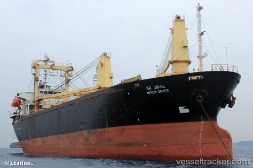
 HAYA QUEEN
Current Status
Where is the vessel?
HAYA QUEEN is currently in Near Tartous, based on AIS data received about 1h ago.
Latest AIS update:
Current position: 34.91550° N, 35.70180° E (Near Tartous)
Average speed (last 7 days): Loading…
Average speed (last 30 days): Loading…
Vessel profile: HAYA QUEEN is a General Cargo with dimensions m x m.
This page combines live AIS, route history, probable destination signals, nearby traffic, and port activity for practical vessel monitoring.
The current position of vessel HAYA QUEEN is 34.91550 lat / 35.70180 lng. Updated: 2026-05-16 11:52:29 UTCNearest reference points:
- Near Tartous
- Near Tripoli
- Near Al Ladhiqiyah
Currently sailing under the flag of Saint Kitts and Nevis ![]()
Details:
Live Vessel HAYA QUEEN Analytics (details, animations, etc.)
Recent AIS points (UTC):
2026-05-16 08:25:38 UTC · 34.75361, 35.07480 · SOG 9.7 kn · COG 62°2026-05-16 09:24:09 UTC · 34.82492, 35.24849 · SOG 9.8 kn · COG 67°
2026-05-16 11:04:10 UTC · 34.91744, 35.54749 · SOG 9.2 kn · COG 89°
2026-05-16 11:52:29 UTC · 34.91550, 35.70180 · SOG 9.4 kn · COG 84°