 vesseltracker.com
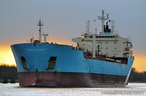
 Blue Commander
Current Status
Where is the vessel?
Blue Commander is currently in Near Pajaritos, based on AIS data received about 1h ago.
Latest AIS update:
Current position: 18.12777° N, 94.39211° W (Near Pajaritos)
Average speed (last 7 days): Loading…
Average speed (last 30 days): Loading…
Vessel profile: Blue Commander is a Oil Products Tanker with dimensions 171m x 26m.
This page combines live AIS, route history, probable destination signals, nearby traffic, and port activity for practical vessel monitoring.
The current position of vessel Blue Commander is 18.12777 lat / -94.39211 lng. Updated: 2026-05-16 11:01:21 UTCNearest reference points:
- Near Coatzacoalcos
- Near Veracruz
- 35 nm S of Yùum K'Ak'Náab
Currently sailing under the flag of Mexico ![]()
Blue Commander built in 2004 year
Deadweight:
35187 tDetails:
Live Vessel Blue Commander Analytics (details, animations, etc.)
Recent AIS points (UTC):
2026-05-16 06:44:20 UTC · 18.12780, -94.39210 · SOG 0 kn · COG -1°2026-05-16 06:44:20 UTC · 18.12780, -94.39210 · SOG 0 kn · COG -1°
2026-05-16 06:44:20 UTC · 18.12780, -94.39210 · SOG 0 kn · COG -1°
2026-05-16 11:01:21 UTC · 18.12777, -94.39211 · SOG 0 kn · COG -1°