 vesseltracker.com
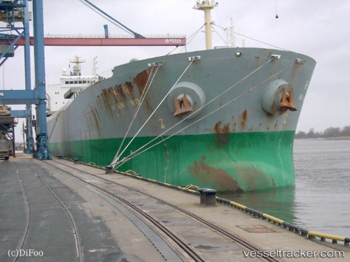
An Ho
Current StatusWhere is the vessel?
An Ho is currently in 35 nm W of Bnei Darom, based on AIS data received about 1h ago.
Latest AIS update:
Current position: 32.02878° N, 31.04595° E (35 nm W of Bnei Darom)
Average speed (last 7 days): Loading…
Average speed (last 30 days): Loading…
Vessel profile: An Ho is a Bulk Carrier with dimensions 32m x 225m.
This page combines live AIS, route history, probable destination signals, nearby traffic, and port activity for practical vessel monitoring.
The current position of vessel An Ho is 32.02878 lat / 31.04595 lng. Updated: 2026-04-24 20:00:22 UTCNearest reference points:
- Near Damietta
- 21 nm N of Port Said
- 15 nm N of Port Said
Details:
Live Vessel An Ho Analytics (details, animations, etc.)
Recent AIS points (UTC):
2026-04-24 16:27:12 UTC · 31.82807, 31.84688 · SOG 11.4 kn · COG 287°2026-04-24 17:18:14 UTC · 31.87185, 31.65837 · SOG 11.7 kn · COG 291°
2026-04-24 19:24:23 UTC · 31.99605, 31.18538 · SOG 12.5 kn · COG 288°
2026-04-24 20:00:22 UTC · 32.02878, 31.04595 · SOG 12.3 kn · COG 280°