 vesseltracker.com
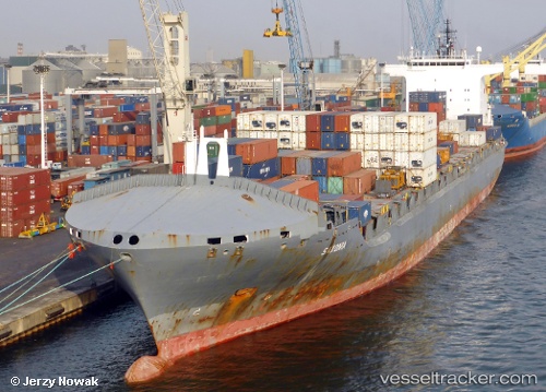
 MSC HELENA III
Current Status
Where is the vessel?
MSC HELENA III is currently in 13 nm NE of Saraylar, based on AIS data received less than 1h ago.
Latest AIS update:
Current position: 40.74746° N, 27.92263° E (13 nm NE of Saraylar)
Average speed (last 7 days): Loading…
Average speed (last 30 days): Loading…
Vessel profile: MSC HELENA III is a Container Ship with dimensions 33m x 225m.
This page combines live AIS, route history, probable destination signals, nearby traffic, and port activity for practical vessel monitoring.
The current position of vessel MSC HELENA III is 40.74746 lat / 27.92263 lng. Updated: 2026-04-28 23:29:32 UTCNearest reference points:
- Near Saraylar
- 11 nm E of Erdek
- Near Erdek
Currently sailing under the flag of Panama ![]()
MSC HELENA III built in 2003 year
Deadweight:
41850 tDetails:
Live Vessel MSC HELENA III Analytics (details, animations, etc.)
Recent AIS points (UTC):
2026-04-28 19:27:41 UTC · 40.39339, 26.69399 · SOG 7.5 kn · COG 45°2026-04-28 21:41:01 UTC · 40.62794, 27.34499 · SOG 14.6 kn · COG 65°
2026-04-28 22:45:49 UTC · 40.72623, 27.68371 · SOG 15.2 kn · COG 84°
2026-04-28 23:29:32 UTC · 40.74746, 27.92263 · SOG 15.2 kn · COG 86°