 vesseltracker.com
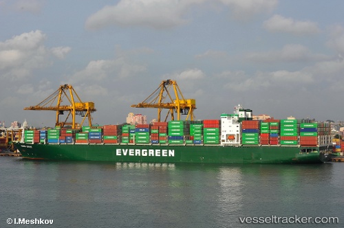
Ever Utile
Current StatusWhere is the vessel?
Ever Utile is currently in 198 nm NW of Port Mathurin, based on AIS data received less than 1h ago.
Latest AIS update:
Current position: 17.40104° S, 60.89455° E (198 nm NW of Port Mathurin)
Average speed (last 7 days): Loading…
Average speed (last 30 days): Loading…
Vessel profile: Ever Utile is a Container Ship with dimensions 40m x 285m.
This page combines live AIS, route history, probable destination signals, nearby traffic, and port activity for practical vessel monitoring.
The current position of vessel Ever Utile is -17.40104 lat / 60.89455 lng. Updated: 2026-05-16 17:56:47 UTCNearest reference points:
- 219 nm NW of Port Mathurin
- 106 nm NW of Port Mathurin
- 241 nm N of Port Mathurin
Details:
Live Vessel Ever Utile Analytics (details, animations, etc.)
Recent AIS points (UTC):
2026-05-16 14:11:33 UTC · -17.85025, 60.12067 · SOG 13.9 kn · COG 58°2026-05-16 16:17:15 UTC · -17.58990, 60.54648 · SOG 13.7 kn · COG 57°
2026-05-16 16:44:47 UTC · -17.53730, 60.64232 · SOG 13.8 kn · COG 63°
2026-05-16 17:56:47 UTC · -17.40104, 60.89455 · SOG 13.9 kn · COG 59°