 vesseltracker.com
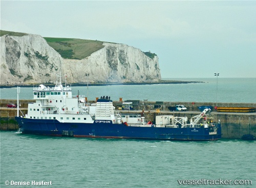
 OCEAN LINK
Current Status
Where is the vessel?
OCEAN LINK is currently in 11 nm W of Kefalos Ko, based on AIS data received less than 1h ago.
Latest AIS update:
Current position: 36.77244° N, 26.75264° E (11 nm W of Kefalos Ko)
Average speed (last 7 days): Loading…
Average speed (last 30 days): Loading…
Vessel profile: OCEAN LINK is a Cable Layer with dimensions m x m.
This page combines live AIS, route history, probable destination signals, nearby traffic, and port activity for practical vessel monitoring.
The current position of vessel OCEAN LINK is 36.77244 lat / 26.75264 lng. Updated: 2026-05-15 01:00:37 UTCNearest reference points:
- Near KALYMNOS
- 18 nm SW of PATMOS
- Near KOS
Currently sailing under the flag of Panama ![]()
Details:
Live Vessel OCEAN LINK Analytics (details, animations, etc.)
Recent AIS points (UTC):
2026-05-14 21:35:37 UTC · 36.77204, 26.74754 · SOG 0.4 kn · COG 251°2026-05-14 22:42:57 UTC · 36.77204, 26.74753 · SOG 0.3 kn · COG 252°
2026-05-15 00:00:26 UTC · 36.77233, 26.74819 · SOG 0.8 kn · COG 251°
2026-05-15 01:00:37 UTC · 36.77244, 26.75264 · SOG 0.2 kn · COG 251°