 vesseltracker.com
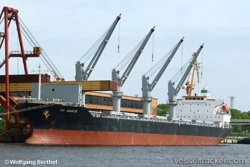
 BOSHI 57
Current Status
Where is the vessel?
BOSHI 57 is currently in 11 nm E of VISAKHAPATNAM, based on AIS data received about 1h ago.
Latest AIS update:
Current position: 17.65400° N, 83.49698° E (11 nm E of VISAKHAPATNAM)
Average speed (last 7 days): Loading…
Average speed (last 30 days): Loading…
Vessel profile: BOSHI 57 is a Bulk Carrier with dimensions 27m x 170m.
This page combines live AIS, route history, probable destination signals, nearby traffic, and port activity for practical vessel monitoring.
The current position of vessel BOSHI 57 is 17.65400 lat / 83.49698 lng. Updated: 2026-04-27 12:06:18 UTCNearest reference points:
- Near Wipro Sez/Resapuvanipalem
- Near Vishakhapatnam
- Near Gopalpur
Currently sailing under the flag of Panama ![]()
BOSHI 57 built in 2006 year
Deadweight:
29828 tDetails:
Live Vessel BOSHI 57 Analytics (details, animations, etc.)
Recent AIS points (UTC):
2026-04-27 07:31:05 UTC · 17.19730, 82.90723 · SOG 12.2 kn · COG 66°2026-04-27 09:46:45 UTC · 17.42683, 83.33560 · SOG 12.7 kn · COG 50°
2026-04-27 10:04:39 UTC · 17.47002, 83.38962 · SOG 12.6 kn · COG 50°
2026-04-27 12:06:18 UTC · 17.65400, 83.49698 · SOG 4.4 kn · COG 106°