 vesseltracker.com
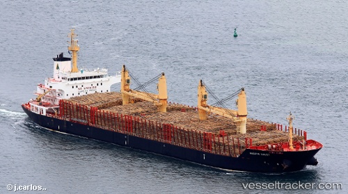
 BEYOND 2
Current Status
Where is the vessel?
BEYOND 2 is currently in 400 nm N of Port Mathurin, based on AIS data received less than 1h ago.
Latest AIS update:
Current position: 13.48126° S, 65.94979° E (400 nm N of Port Mathurin)
Average speed (last 7 days): Loading…
Average speed (last 30 days): Loading…
Vessel profile: BEYOND 2 is a Bulk Carrier with dimensions m x m.
This page combines live AIS, route history, probable destination signals, nearby traffic, and port activity for practical vessel monitoring.
The current position of vessel BEYOND 2 is -13.48126 lat / 65.94979 lng. Updated: 2026-04-23 19:28:20 UTCNearest reference points:
- Open sea, approx. 403 nm off the nearest listed port
- Open sea, approx. 402 nm off the nearest listed port
- Open sea, approx. 404 nm off the nearest listed port
Currently sailing under the flag of Panama ![]()
Details:
Live Vessel BEYOND 2 Analytics (details, animations, etc.)
Recent AIS points (UTC):
2026-04-23 15:56:19 UTC · -13.10929, 66.52191 · SOG 11.5 kn · COG 232°2026-04-23 17:34:48 UTC · -13.28251, 66.25641 · SOG 11.3 kn · COG 233°
2026-04-23 19:19:27 UTC · -13.46522, 65.97340 · SOG 11.4 kn · COG 234°
2026-04-23 19:28:20 UTC · -13.48126, 65.94979 · SOG 11.3 kn · COG 232°