 vesseltracker.com
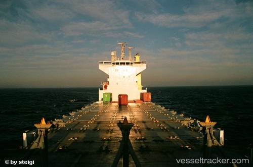
 ARCHERFISH
Current Status
Where is the vessel?
ARCHERFISH is currently in Near Alexandria, based on AIS data received about 3h ago.
Latest AIS update:
Current position: 31.23071° N, 29.80673° E (Near Alexandria)
Average speed (last 7 days): Loading…
Average speed (last 30 days): Loading…
Vessel profile: ARCHERFISH is a Container Ship with dimensions m x m.
This page combines live AIS, route history, probable destination signals, nearby traffic, and port activity for practical vessel monitoring.
The current position of vessel ARCHERFISH is 31.23071 lat / 29.80673 lng. Updated: 2026-05-15 18:09:35 UTCNearest reference points:
- Near EL DEKHEILA
- Near Alexandria
- 13 nm W of EL DEKHEILA
Currently sailing under the flag of Panama ![]()
Details:
Live Vessel ARCHERFISH Analytics (details, animations, etc.)
Recent AIS points (UTC):
2026-05-15 17:04:40 UTC · 31.36074, 29.86481 · SOG 8 kn · COG 206°2026-05-15 18:09:35 UTC · 31.23071, 29.80673 · SOG 7.5 kn · COG 200°
2026-05-15 18:09:35 UTC · 31.23071, 29.80673 · SOG 7.5 kn · COG 200°
2026-05-15 18:09:35 UTC · 31.23071, 29.80673 · SOG 7.5 kn · COG 200°