 vesseltracker.com
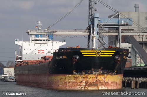
 ICE II
Current Status
Where is the vessel?
ICE II is currently in 13 nm S of Lushun New Pt, based on AIS data received less than 1h ago.
Latest AIS update:
Current position: 38.47225° N, 121.19327° E (13 nm S of Lushun New Pt)
Average speed (last 7 days): Loading…
Average speed (last 30 days): Loading…
Vessel profile: ICE II is a Bulk Carrier with dimensions m x m.
This page combines live AIS, route history, probable destination signals, nearby traffic, and port activity for practical vessel monitoring.
The current position of vessel ICE II is 38.47225 lat / 121.19327 lng. Updated: 2026-04-29 13:37:21 UTCNearest reference points:
- Near Lushun New Pt
- 13 nm S of Lushun New Pt
- 20 nm S of Lushun New Pt
Currently sailing under the flag of Panama ![]()
Details:
Live Vessel ICE II Analytics (details, animations, etc.)
Recent AIS points (UTC):
2026-04-29 10:28:30 UTC · 38.15187, 121.87608 · SOG 11.8 kn · COG 299°2026-04-29 11:56:50 UTC · 38.29844, 121.55822 · SOG 11.8 kn · COG 306°
2026-04-29 13:15:51 UTC · 38.43222, 121.27044 · SOG 12.1 kn · COG 300°
2026-04-29 13:37:21 UTC · 38.47225, 121.19327 · SOG 12.1 kn · COG 300°