 vesseltracker.com
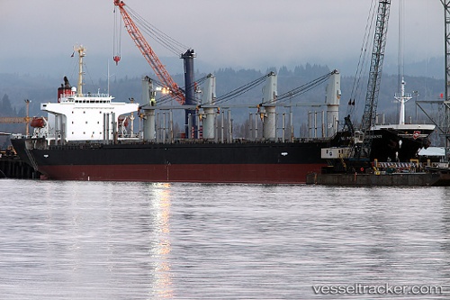
 MAGNUM
Current Status
Where is the vessel?
MAGNUM is currently in 40 nm S of Sulina (Port et Zone Franche), based on AIS data received about 1h ago.
Latest AIS update:
Current position: 44.48809° N, 29.73439° E (40 nm S of Sulina (Port et Zone Franche))
Average speed (last 7 days): Loading…
Average speed (last 30 days): Loading…
Vessel profile: MAGNUM is a Bulk Carrier with dimensions m x m.
This page combines live AIS, route history, probable destination signals, nearby traffic, and port activity for practical vessel monitoring.
The current position of vessel MAGNUM is 44.48809 lat / 29.73439 lng. Updated: 2026-04-26 00:10:59 UTCNearest reference points:
- 12 nm SE of Sulina (Port et Zone Franche)
- 13 nm E of Sulina (Port et Zone Franche)
- 20 nm E of Eforie Sud
Currently sailing under the flag of Panama ![]()
Details:
Live Vessel MAGNUM Analytics (details, animations, etc.)
Recent AIS points (UTC):
2026-04-25 19:26:19 UTC · 44.97062, 29.81739 · SOG 10.4 kn · COG 187°2026-04-25 20:02:49 UTC · 44.86638, 29.80478 · SOG 10.2 kn · COG 186°
2026-04-25 21:53:10 UTC · 44.54245, 29.74571 · SOG 10.9 kn · COG 189°
2026-04-25 22:47:52 UTC · 44.42438, 29.72464 · SOG 20.1 kn · COG 189°
2026-04-26 00:10:59 UTC · 44.48809, 29.73439 · SOG 11.4 kn · COG 191°