 vesseltracker.com
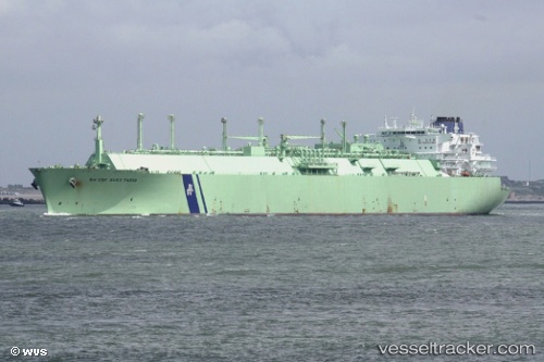
 BW BATANGAS
Current Status
Where is the vessel?
BW BATANGAS is currently in Near Batangas, based on AIS data received about 1h ago.
Latest AIS update:
Current position: 13.76550° N, 121.03150° E (Near Batangas)
Average speed (last 7 days): Loading…
Average speed (last 30 days): Loading…
Vessel profile: BW BATANGAS is a Lng Tanker with dimensions m x m.
This page combines live AIS, route history, probable destination signals, nearby traffic, and port activity for practical vessel monitoring.
The current position of vessel BW BATANGAS is 13.76550 lat / 121.03150 lng. Updated: 2026-04-24 19:26:49 UTCNearest reference points:
- Near Lobo
- 12 nm S of Lobo
- Near Nasugbu, Luzon
Currently sailing under the flag of Panama ![]()
Details:
Live Vessel BW BATANGAS Analytics (details, animations, etc.)
Recent AIS points (UTC):
2026-04-24 16:34:44 UTC · 13.76550, 121.03150 · SOG 0 kn · COG 127°2026-04-24 17:48:55 UTC · 13.76550, 121.03150 · SOG 0 kn · COG 127°
2026-04-24 19:26:49 UTC · 13.76550, 121.03150 · SOG 0 kn · COG 127°
2026-04-24 19:26:49 UTC · 13.76550, 121.03150 · SOG 0 kn · COG 127°