 vesseltracker.com
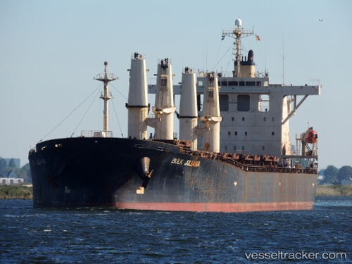
 SAMIR
SAMIR
Current Status
Where is the vessel?
SAMIR is currently in 14 nm NE of AL JUBAIL, based on AIS data received about 1h ago.
Latest AIS update:
Current position: 27.21522° N, 49.91635° E (14 nm NE of AL JUBAIL)
Average speed (last 7 days): Loading…
Average speed (last 30 days): Loading…
Vessel profile: SAMIR is a Bulk Carrier with dimensions m x m.
This page combines live AIS, route history, probable destination signals, nearby traffic, and port activity for practical vessel monitoring.
The current position of vessel SAMIR is 27.21522 lat / 49.91635 lng. Updated: 2026-05-15 08:29:41 UTCNearest reference points:
- 13 nm NE of AL JUBAIL
- Near Al Jubayl
- Near Al Jubayl Industrial City
Currently sailing under the flag of Panama ![]()
Details:
Live Vessel SAMIR Analytics (details, animations, etc.)
Recent AIS points (UTC):
2026-05-15 03:44:52 UTC · 27.37724, 50.27689 · SOG 7.8 kn · COG 222°2026-05-15 05:41:05 UTC · 27.24280, 50.20581 · SOG 4 kn · COG 342°
2026-05-15 06:54:09 UTC · 27.27023, 50.08330 · SOG 5 kn · COG 229°
2026-05-15 08:29:41 UTC · 27.21522, 49.91635 · SOG 7.9 kn · COG 218°