 vesseltracker.com
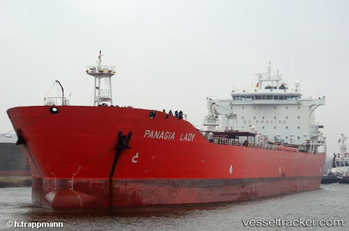
 YOKO 1
Current Status
Where is the vessel?
YOKO 1 is currently in 25 nm N of Port Said, based on AIS data received less than 1h ago.
Latest AIS update:
Current position: 31.67244° N, 32.23793° E (25 nm N of Port Said)
Average speed (last 7 days): Loading…
Average speed (last 30 days): Loading…
Vessel profile: YOKO 1 is a Oil/Chemical Tanker with dimensions m x m.
This page combines live AIS, route history, probable destination signals, nearby traffic, and port activity for practical vessel monitoring.
The current position of vessel YOKO 1 is 31.67244 lat / 32.23793 lng. Updated: 2026-05-14 21:18:47 UTCNearest reference points:
- 21 nm N of Port Said
- 16 nm N of Port Said
- 15 nm N of Port Said
Currently sailing under the flag of Panama ![]()
Details:
Live Vessel YOKO 1 Analytics (details, animations, etc.)
Recent AIS points (UTC):
2026-05-14 17:56:14 UTC · 31.64403, 32.18362 · SOG 12.8 kn · COG 301°2026-05-14 17:56:14 UTC · 31.64403, 32.18362 · SOG 12.8 kn · COG 301°
2026-05-14 17:56:14 UTC · 31.64403, 32.18362 · SOG 12.8 kn · COG 301°
2026-05-14 21:18:47 UTC · 31.67244, 32.23793 · SOG 0.1 kn · COG 298°