 vesseltracker.com
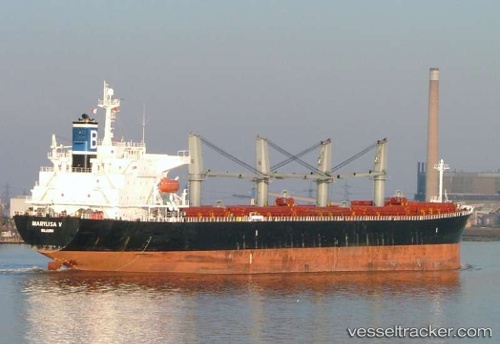
 KATHY OCEAN
Current Status
Where is the vessel?
KATHY OCEAN is currently in 27 nm NE of Putian, based on AIS data received less than 1h ago.
Latest AIS update:
Current position: 24.74687° N, 119.36350° E (27 nm NE of Putian)
Average speed (last 7 days): Loading…
Average speed (last 30 days): Loading…
Vessel profile: KATHY OCEAN is a Bulk Carrier with dimensions m x m.
This page combines live AIS, route history, probable destination signals, nearby traffic, and port activity for practical vessel monitoring.
The current position of vessel KATHY OCEAN is 24.74687 lat / 119.36350 lng. Updated: 2026-04-24 06:23:21 UTCNearest reference points:
- 23 nm SE of XIUYU
- 19 nm NE of Putian
- 17 nm SW of Damaiyu
Currently sailing under the flag of Panama ![]()
Details:
Live Vessel KATHY OCEAN Analytics (details, animations, etc.)
Recent AIS points (UTC):
2026-04-24 01:54:42 UTC · 25.36202, 120.04983 · SOG 11.9 kn · COG 212°2026-04-24 04:08:32 UTC · 25.03328, 119.73485 · SOG 11.8 kn · COG 225°
2026-04-24 04:09:21 UTC · 25.03144, 119.73271 · SOG 11.8 kn · COG 224°
2026-04-24 06:23:21 UTC · 24.74687, 119.36350 · SOG 11.8 kn · COG 233°