 vesseltracker.com
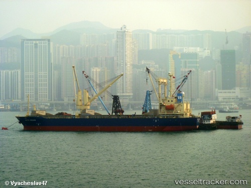
 OCEAN ENERGY
Current Status
Where is the vessel?
OCEAN ENERGY is currently in Near SULTAN QABOOS, based on AIS data received about 7h ago.
Latest AIS update:
Current position: 23.62913° N, 58.56738° E (Near SULTAN QABOOS)
Average speed (last 7 days): Loading…
Average speed (last 30 days): Loading…
Vessel profile: OCEAN ENERGY is a General Cargo with dimensions m x m.
This page combines live AIS, route history, probable destination signals, nearby traffic, and port activity for practical vessel monitoring.
The current position of vessel OCEAN ENERGY is 23.62913 lat / 58.56738 lng. Updated: 2026-05-15 06:22:00 UTCNearest reference points:
- 58 nm S of JASK
- 23 nm NE of Qalhat
- 42 nm SE of Offshore Fujairah
Currently sailing under the flag of Panama ![]()
Details:
Live Vessel OCEAN ENERGY Analytics (details, animations, etc.)
Recent AIS points (UTC):
2026-05-15 06:22:00 UTC · 23.62913, 58.56738 · SOG 0 kn · COG 38°2026-05-15 06:22:00 UTC · 23.62913, 58.56738 · SOG 0 kn · COG 38°
2026-05-15 06:22:00 UTC · 23.62913, 58.56738 · SOG 0 kn · COG 38°
2026-05-15 06:22:00 UTC · 23.62913, 58.56738 · SOG 0 kn · COG 38°