 vesseltracker.com
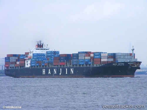
 MSC TIA V
Current Status
Where is the vessel?
MSC TIA V is currently in 23 nm SE of Kilifi, based on AIS data received less than 1h ago.
Latest AIS update:
Current position: 3.80431° S, 40.18504° E (23 nm SE of Kilifi)
Average speed (last 7 days): Loading…
Average speed (last 30 days): Loading…
Vessel profile: MSC TIA V is a Container Ship with dimensions m x m.
This page combines live AIS, route history, probable destination signals, nearby traffic, and port activity for practical vessel monitoring.
The current position of vessel MSC TIA V is -3.80431 lat / 40.18504 lng. Updated: 2026-05-16 07:08:39 UTCNearest reference points:
- 11 nm SE of Mombasa
- Near Mombasa
Currently sailing under the flag of Panama ![]()
Details:
Live Vessel MSC TIA V Analytics (details, animations, etc.)
Recent AIS points (UTC):
2026-05-16 03:54:18 UTC · -3.56000, 40.23185 · SOG 2.4 kn · COG 61°2026-05-16 04:34:39 UTC · -3.53458, 40.23492 · SOG 2.2 kn · COG 61°
2026-05-16 05:24:39 UTC · -3.55098, 40.23971 · SOG 9.1 kn · COG 193°
2026-05-16 07:08:39 UTC · -3.80431, 40.18504 · SOG 9.1 kn · COG 196°