 vesseltracker.com
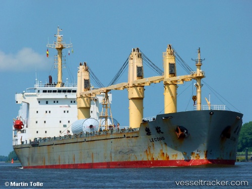
 H CACHALOT
Current Status
Where is the vessel?
H CACHALOT is currently in 132 nm NE of Dinapigue, based on AIS data received about 1h ago.
Latest AIS update:
Current position: 17.65333° N, 124.39667° E (132 nm NE of Dinapigue)
Average speed (last 7 days): Loading…
Average speed (last 30 days): Loading…
Vessel profile: H CACHALOT is a General Cargo with dimensions m x m.
This page combines live AIS, route history, probable destination signals, nearby traffic, and port activity for practical vessel monitoring.
The current position of vessel H CACHALOT is 17.65333 lat / 124.39667 lng. Updated: 2026-05-15 11:58:02 UTCNearest reference points:
- 88 nm E of Port Irene
- 55 nm SE of Port Irene
Currently sailing under the flag of Panama ![]()
Details:
Live Vessel H CACHALOT Analytics (details, animations, etc.)
Recent AIS points (UTC):
2026-05-15 07:52:00 UTC · 16.92500, 124.61500 · SOG 11 kn · COG -1°2026-05-15 09:48:59 UTC · 17.27500, 124.50667 · SOG 11 kn · COG -1°
2026-05-15 10:16:00 UTC · 17.35500, 124.48500 · SOG 10 kn · COG -1°
2026-05-15 11:58:02 UTC · 17.65333, 124.39667 · SOG 10 kn · COG -1°