 vesseltracker.com
 OCEANIC STAR
Current Status
Where is the vessel?
OCEANIC STAR is currently in 87 nm SE of Taytay Sandoval, based on AIS data received less than 1h ago.
Latest AIS update:
Current position: 9.62333° N, 120.33833° E (87 nm SE of Taytay Sandoval)
Average speed (last 7 days): Loading…
Average speed (last 30 days): Loading…
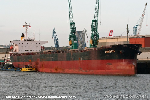
Vessel profile: OCEANIC STAR is a Bulk Carrier with dimensions m x m.
This page combines live AIS, route history, probable destination signals, nearby traffic, and port activity for practical vessel monitoring.
The current position of vessel OCEANIC STAR is 9.62333 lat / 120.33833 lng. Updated: 2026-04-30 19:20:31 UTCNearest reference points:
- Near Iloilo
- 35 nm SE of Brookes Point, Palawan
- 43 nm W of Malampaya
Currently sailing under the flag of Panama ![]()
Details:
Live Vessel OCEANIC STAR Analytics (details, animations, etc.)
Recent AIS points (UTC):
2026-04-30 16:14:31 UTC · 9.11167, 120.33167 · SOG 9 kn · COG -1°2026-04-30 17:11:30 UTC · 9.26667, 120.32833 · SOG 9 kn · COG -1°
2026-04-30 19:08:31 UTC · 9.59167, 120.33667 · SOG 9 kn · COG -1°
2026-04-30 19:20:31 UTC · 9.62333, 120.33833 · SOG 9 kn · COG -1°