 vesseltracker.com
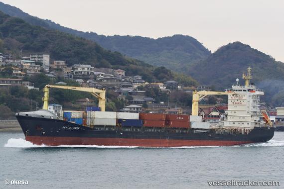
 MERATUS BINTAN
Current Status
Where is the vessel?
MERATUS BINTAN is currently in Open sea (no nearby ports in database), based on AIS data received less than 1h ago.
Latest AIS update:
Current position: 18.37500° N, 134.89333° E (Open sea (no nearby ports in database))
Average speed (last 7 days): Loading…
Average speed (last 30 days): Loading…
Vessel profile: MERATUS BINTAN is a Container Ship with dimensions m x m.
This page combines live AIS, route history, probable destination signals, nearby traffic, and port activity for practical vessel monitoring.
The current position of vessel MERATUS BINTAN is 18.37500 lat / 134.89333 lng. Updated: 2026-04-28 22:52:36 UTCNearest reference points:
- Open sea (no nearby ports in database)
- Open sea, approx. 544 nm off the nearest listed port
- Open sea, approx. 535 nm off the nearest listed port
Currently sailing under the flag of Panama ![]()
Details:
Live Vessel MERATUS BINTAN Analytics (details, animations, etc.)
Recent AIS points (UTC):
2026-04-28 17:40:36 UTC · 17.39833, 135.42667 · SOG 12 kn · COG -1°2026-04-28 19:57:15 UTC · 17.81946, 135.19824 · SOG 12.3 kn · COG 329°
2026-04-28 21:50:57 UTC · 18.17554, 135.00237 · SOG 13.1 kn · COG 332°
2026-04-28 22:52:36 UTC · 18.37500, 134.89333 · SOG 12 kn · COG -1°