 vesseltracker.com
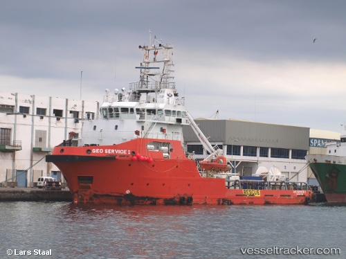
 BOREAS G
Current Status
Where is the vessel?
BOREAS G is currently in Near STELLENDAM, based on AIS data received less than 1h ago.
Latest AIS update:
Current position: 51.81931° N, 4.04231° E (Near STELLENDAM)
Average speed (last 7 days): Loading…
Average speed (last 30 days): Loading…
Vessel profile: BOREAS G is a Offshore Supply Ship with dimensions m x m.
This page combines live AIS, route history, probable destination signals, nearby traffic, and port activity for practical vessel monitoring.
The current position of vessel BOREAS G is 51.81931 lat / 4.04231 lng. Updated: 2026-05-14 08:24:30 UTCNearest reference points:
- Near STELLENDAM
- Near Rockanje
- Near MAASVLAKTE - ROTTERDAM
Currently sailing under the flag of Panama ![]()
Details:
Live Vessel BOREAS G Analytics (details, animations, etc.)
Recent AIS points (UTC):
2026-05-14 04:33:33 UTC · 51.81931, 4.04235 · SOG 0 kn · COG 129°2026-05-14 05:45:29 UTC · 51.81949, 4.04229 · SOG 0 kn · COG 129°
2026-05-14 07:58:09 UTC · 51.81935, 4.04241 · SOG 0 kn · COG 221°
2026-05-14 08:24:30 UTC · 51.81931, 4.04231 · SOG 0 kn · COG 130°