 vesseltracker.com
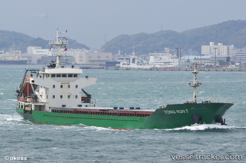
 TONG RUN 7
Current Status
Where is the vessel?
TONG RUN 7 is currently in Near Gamcheon/Busan, based on AIS data received less than 1h ago.
Latest AIS update:
Current position: 35.08215° N, 128.99760° E (Near Gamcheon/Busan)
Average speed (last 7 days): Loading…
Average speed (last 30 days): Loading…
Vessel profile: TONG RUN 7 is a Cargo with dimensions m x m.
This page combines live AIS, route history, probable destination signals, nearby traffic, and port activity for practical vessel monitoring.
The current position of vessel TONG RUN 7 is 35.08215 lat / 128.99760 lng. Updated: 2026-04-30 19:30:44 UTCNearest reference points:
- Near Gamcheon/Busan
- Near Busan
- Near BUSAN NEW PORT
Currently sailing under the flag of Panama ![]()
Details:
Live Vessel TONG RUN 7 Analytics (details, animations, etc.)
Recent AIS points (UTC):
2026-04-30 16:27:38 UTC · 35.08208, 128.99760 · SOG 0 kn · COG 342°2026-04-30 17:18:40 UTC · 35.08213, 128.99760 · SOG 0 kn · COG 342°
2026-04-30 19:13:18 UTC · 35.08167, 128.99667 · SOG 0 kn · COG -1°
2026-04-30 19:30:44 UTC · 35.08215, 128.99760 · SOG 0 kn · COG 342°