 vesseltracker.com
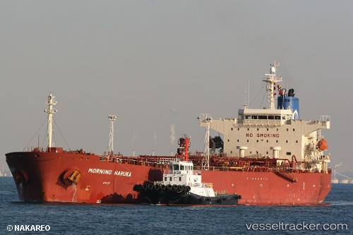
 CELESTIAL
Current Status
Where is the vessel?
CELESTIAL is currently in 99 nm W of Raigad, based on AIS data received less than 1h ago.
Latest AIS update:
Current position: 18.29433° N, 71.16461° E (99 nm W of Raigad)
Average speed (last 7 days): Loading…
Average speed (last 30 days): Loading…
Vessel profile: CELESTIAL is a Oil Products Tanker with dimensions m x m.
This page combines live AIS, route history, probable destination signals, nearby traffic, and port activity for practical vessel monitoring.
The current position of vessel CELESTIAL is 18.29433 lat / 71.16461 lng. Updated: 2026-04-30 10:25:41 UTCNearest reference points:
- Near Mumbai
- Near HNB SEZ/Mumbai
- Near NHAVA SHEVA
Currently sailing under the flag of Panama ![]()
Details:
Live Vessel CELESTIAL Analytics (details, animations, etc.)
Recent AIS points (UTC):
2026-04-30 05:05:31 UTC · 18.90108, 72.05282 · SOG 11.8 kn · COG 266°2026-04-30 07:22:20 UTC · 18.66985, 71.68720 · SOG 12.2 kn · COG 222°
2026-04-30 08:20:30 UTC · 18.52356, 71.54634 · SOG 12.2 kn · COG 241°
2026-04-30 10:25:41 UTC · 18.29433, 71.16461 · SOG 12.5 kn · COG 208°