 vesseltracker.com
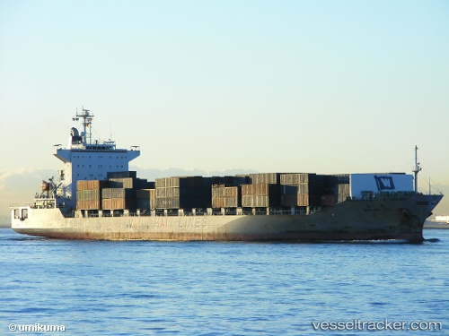
 HT JOURNEY
Current Status
Where is the vessel?
HT JOURNEY is currently in 12 nm SW of Air Parcel Sorting Office/Mumbai, based on AIS data received less than 1h ago.
Latest AIS update:
Current position: 18.79647° N, 72.63696° E (12 nm SW of Air Parcel Sorting Office/Mumbai)
Average speed (last 7 days): Loading…
Average speed (last 30 days): Loading…
Vessel profile: HT JOURNEY is a Container Ship with dimensions m x m.
This page combines live AIS, route history, probable destination signals, nearby traffic, and port activity for practical vessel monitoring.
The current position of vessel HT JOURNEY is 18.79647 lat / 72.63696 lng. Updated: 2026-04-24 16:29:58 UTCNearest reference points:
- Near Mumbai
- Near HNB SEZ/Mumbai
- Near NHAVA SHEVA
Currently sailing under the flag of Panama ![]()
Details:
Live Vessel HT JOURNEY Analytics (details, animations, etc.)
Recent AIS points (UTC):
2026-04-24 13:40:23 UTC · 18.79680, 72.63808 · SOG 0 kn · COG 314°2026-04-24 14:23:57 UTC · 18.79660, 72.63774 · SOG 0 kn · COG 330°
2026-04-24 15:23:59 UTC · 18.79647, 72.63666 · SOG 0 kn · COG 12°
2026-04-24 16:29:58 UTC · 18.79647, 72.63696 · SOG 0 kn · COG 348°