 vesseltracker.com
 ALSILS
Current Status
Where is the vessel?
ALSILS is currently in Near Stevin Rock, based on AIS data received less than 1h ago.
Latest AIS update:
Current position: 25.97570° N, 56.05552° E (Near Stevin Rock)
Average speed (last 7 days): Loading…
Average speed (last 30 days): Loading…
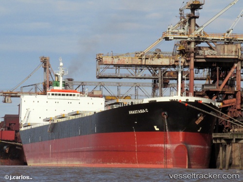
Vessel profile: ALSILS is a Bulk Carrier with dimensions m x m.
This page combines live AIS, route history, probable destination signals, nearby traffic, and port activity for practical vessel monitoring.
The current position of vessel ALSILS is 25.97570 lat / 56.05552 lng. Updated: 2026-05-14 08:15:55 UTCNearest reference points:
- Near Stevin Rock
- Near Rak Maritime City
- Near Ras Al Khaimah
Currently sailing under the flag of Panama ![]()
Details:
Live Vessel ALSILS Analytics (details, animations, etc.)
Recent AIS points (UTC):
2026-05-14 05:01:57 UTC · 25.97596, 56.05551 · SOG 0.1 kn · COG 217°2026-05-14 06:08:59 UTC · 25.97601, 56.05546 · SOG 0.3 kn · COG 217°
2026-05-14 07:50:26 UTC · 25.97579, 56.05522 · SOG 3.4 kn · COG 217°
2026-05-14 08:15:55 UTC · 25.97570, 56.05552 · SOG 0.8 kn · COG 217°