 vesseltracker.com
 HIGH GOLD
Current Status
Where is the vessel?
HIGH GOLD is currently in Near TANJUNG PEMANCINGAN, based on AIS data received less than 1h ago.
Latest AIS update:
Current position: 3.17362° S, 116.39839° E (Near TANJUNG PEMANCINGAN)
Average speed (last 7 days): Loading…
Average speed (last 30 days): Loading…
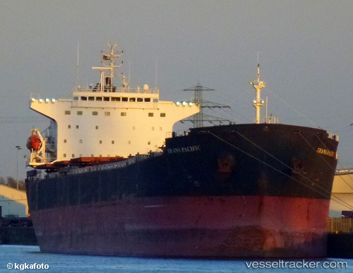
Vessel profile: HIGH GOLD is a Bulk Carrier with dimensions m x m.
This page combines live AIS, route history, probable destination signals, nearby traffic, and port activity for practical vessel monitoring.
The current position of vessel HIGH GOLD is -3.17362 lat / 116.39839 lng. Updated: 2026-05-15 13:17:38 UTCNearest reference points:
- Near TANJUNG PEMANCINGAN
- 57 nm NE of TANJUNG PEMANCINGAN
- 12 nm SE of Bunati
Currently sailing under the flag of Panama ![]()
Details:
Live Vessel HIGH GOLD Analytics (details, animations, etc.)
Recent AIS points (UTC):
2026-05-15 10:23:38 UTC · -3.17282, 116.39865 · SOG 0.1 kn · COG 276°2026-05-15 10:59:38 UTC · -3.17364, 116.39838 · SOG 0 kn · COG 306°
2026-05-15 11:35:38 UTC · -3.17376, 116.39831 · SOG 0 kn · COG 313°
2026-05-15 13:17:38 UTC · -3.17362, 116.39839 · SOG 0 kn · COG 311°