 vesseltracker.com
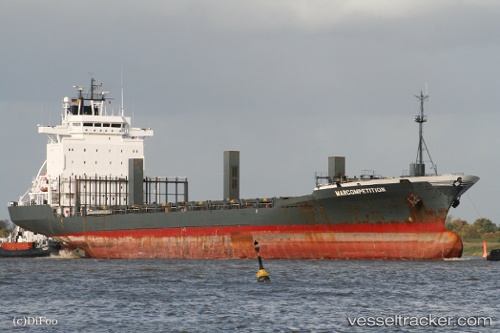
 STONEFISH
Current Status
Where is the vessel?
STONEFISH is currently in 16 nm SW of Yesilovacik, based on AIS data received less than 1h ago.
Latest AIS update:
Current position: 36.00444° N, 33.43399° E (16 nm SW of Yesilovacik)
Average speed (last 7 days): Loading…
Average speed (last 30 days): Loading…
Vessel profile: STONEFISH is a Container Ship with dimensions m x m.
This page combines live AIS, route history, probable destination signals, nearby traffic, and port activity for practical vessel monitoring.
The current position of vessel STONEFISH is 36.00444 lat / 33.43399 lng. Updated: 2026-05-15 14:00:29 UTCNearest reference points:
- 15 nm SW of Yesilovacik
- 20 nm SW of Yesilovacik
- Near Larnaca
Currently sailing under the flag of Panama ![]()
Details:
Live Vessel STONEFISH Analytics (details, animations, etc.)
Recent AIS points (UTC):
2026-05-15 10:27:58 UTC · 35.92252, 32.63149 · SOG 10.5 kn · COG 91°2026-05-15 11:42:49 UTC · 35.92938, 32.90650 · SOG 11.1 kn · COG 80°
2026-05-15 13:40:30 UTC · 35.99314, 33.35650 · SOG 11.5 kn · COG 80°
2026-05-15 14:00:29 UTC · 36.00444, 33.43399 · SOG 11.5 kn · COG 78°