 vesseltracker.com
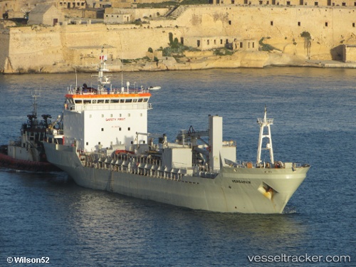
 ISLAS TRES
Current Status
Where is the vessel?
ISLAS TRES is currently in Near Las Palmas de Gran Canaria, based on AIS data received about 1h ago.
Latest AIS update:
Current position: 28.07410° N, 15.35229° W (Near Las Palmas de Gran Canaria)
Average speed (last 7 days): Loading…
Average speed (last 30 days): Loading…
Vessel profile: ISLAS TRES is a Cement Carrier with dimensions m x m.
This page combines live AIS, route history, probable destination signals, nearby traffic, and port activity for practical vessel monitoring.
The current position of vessel ISLAS TRES is 28.07410 lat / -15.35229 lng. Updated: 2026-04-27 19:55:52 UTCNearest reference points:
- Near Las Palmas de Gran Canaria
- Near TALIARTE
- Near Las Palmas
Currently sailing under the flag of Panama ![]()
Details:
Live Vessel ISLAS TRES Analytics (details, animations, etc.)
Recent AIS points (UTC):
2026-04-27 16:59:07 UTC · 27.84604, -15.39980 · SOG 0 kn · COG 302°2026-04-27 18:11:42 UTC · 27.85133, -15.35401 · SOG 9.2 kn · COG 64°
2026-04-27 19:23:21 UTC · 28.00656, -15.29635 · SOG 9.7 kn · COG 1°
2026-04-27 19:55:52 UTC · 28.07410, -15.35229 · SOG 9.4 kn · COG 333°