 vesseltracker.com
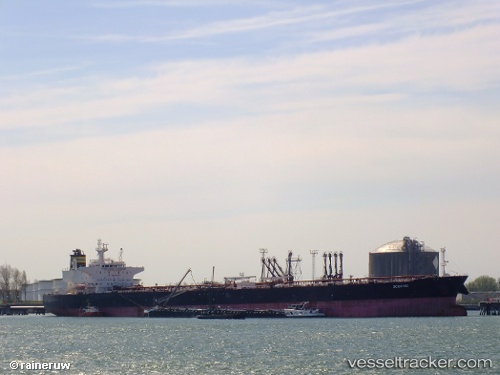
 TANGO 2
Current Status
Where is the vessel?
TANGO 2 is currently in 45 nm S of ROQUETAS DE MAR, based on AIS data received about 1h ago.
Latest AIS update:
Current position: 36.03020° N, 2.35297° W (45 nm S of ROQUETAS DE MAR)
Average speed (last 7 days): Loading…
Average speed (last 30 days): Loading…
Vessel profile: TANGO 2 is a Crude Oil Tanker with dimensions m x m.
This page combines live AIS, route history, probable destination signals, nearby traffic, and port activity for practical vessel monitoring.
The current position of vessel TANGO 2 is 36.03020 lat / -2.35297 lng. Updated: 2026-05-14 16:35:00 UTCNearest reference points:
- 37 nm S of Las Noras de Daza
- 26 nm S of El Alquian
- 27 nm SE of El Alquian
Currently sailing under the flag of Panama ![]()
Details:
Live Vessel TANGO 2 Analytics (details, animations, etc.)
Recent AIS points (UTC):
2026-05-14 13:40:11 UTC · 36.09246, -1.64060 · SOG 12.4 kn · COG 241°2026-05-14 14:06:50 UTC · 36.05550, -1.74424 · SOG 12.3 kn · COG 250°
2026-05-14 15:42:01 UTC · 36.03161, -2.13726 · SOG 11.9 kn · COG 272°
2026-05-14 16:35:00 UTC · 36.03020, -2.35297 · SOG 12.1 kn · COG 269°