 vesseltracker.com
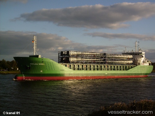
 ADAM A
Current Status
Where is the vessel?
ADAM A is currently in 14 nm E of Mundra Port SEZ, based on AIS data received less than 1h ago.
Latest AIS update:
Current position: 22.82248° N, 69.99216° E (14 nm E of Mundra Port SEZ)
Average speed (last 7 days): Loading…
Average speed (last 30 days): Loading…
Vessel profile: ADAM A is a Bulk Carrier with dimensions m x m.
This page combines live AIS, route history, probable destination signals, nearby traffic, and port activity for practical vessel monitoring.
The current position of vessel ADAM A is 22.82248 lat / 69.99216 lng. Updated: 2026-05-14 21:31:24 UTCNearest reference points:
- 12 nm N of Rozi
- 15 nm N of Rozi
- Near Rozi
Currently sailing under the flag of Panama ![]()
Details:
Live Vessel ADAM A Analytics (details, animations, etc.)
Recent AIS points (UTC):
2026-05-14 18:01:20 UTC · 22.82390, 69.99521 · SOG 0 kn · COG 240°2026-05-14 19:13:19 UTC · 22.82351, 69.99526 · SOG 0.2 kn · COG 265°
2026-05-14 20:00:21 UTC · 22.82167, 69.99500 · SOG 0 kn · COG -1°
2026-05-14 21:31:24 UTC · 22.82248, 69.99216 · SOG 0 kn · COG 31°