 vesseltracker.com
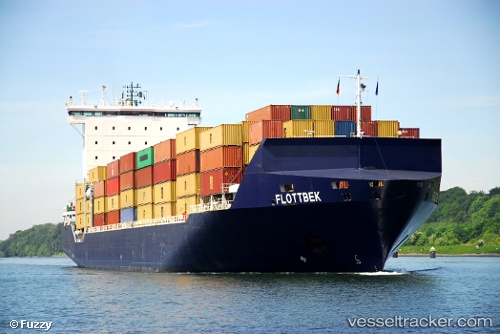
 LI DA WANG
Current Status
Where is the vessel?
LI DA WANG is currently in Near Yamashitacho, based on AIS data received less than 1h ago.
Latest AIS update:
Current position: 35.44071° N, 139.68436° E (Near Yamashitacho)
Average speed (last 7 days): Loading…
Average speed (last 30 days): Loading…
Vessel profile: LI DA WANG is a Container Ship with dimensions m x m.
This page combines live AIS, route history, probable destination signals, nearby traffic, and port activity for practical vessel monitoring.
The current position of vessel LI DA WANG is 35.44071 lat / 139.68436 lng. Updated: 2026-05-01 22:10:25 UTCNearest reference points:
- Near Yokohama
- Near Kawasaki
- Near Naka-Ku, Kanagawa
Currently sailing under the flag of Panama ![]()
Details:
Live Vessel LI DA WANG Analytics (details, animations, etc.)
Recent AIS points (UTC):
2026-05-01 19:33:03 UTC · 35.60685, 139.76508 · SOG 0 kn · COG 330°2026-05-01 19:59:56 UTC · 35.60370, 139.77318 · SOG 7.9 kn · COG 142°
2026-05-01 22:02:16 UTC · 35.44085, 139.68439 · SOG 0 kn · COG 207°
2026-05-01 22:10:25 UTC · 35.44071, 139.68436 · SOG 0 kn · COG 207°