 vesseltracker.com
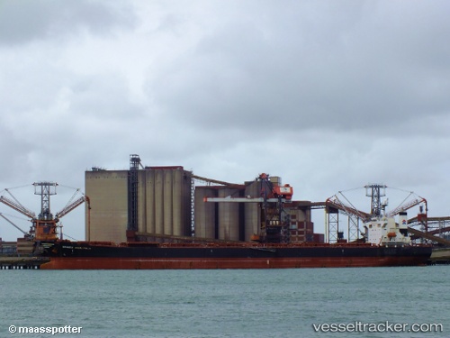
 RATGA
RATGA
Current Status
Where is the vessel?
RATGA is currently in 18 nm S of Jazireh-Ye Lavan, based on AIS data received less than 1h ago.
Latest AIS update:
Current position: 26.49780° N, 53.44953° E (18 nm S of Jazireh-Ye Lavan)
Average speed (last 7 days): Loading…
Average speed (last 30 days): Loading…
Vessel profile: RATGA is a Bulk Carrier with dimensions m x m.
This page combines live AIS, route history, probable destination signals, nearby traffic, and port activity for practical vessel monitoring.
The current position of vessel RATGA is 26.49780 lat / 53.44953 lng. Updated: 2026-04-25 04:18:13 UTCNearest reference points:
- Near Jazireh-Ye Lavan
- 21 nm NE of Halul Island
- Near ASALUYEH
Currently sailing under the flag of Panama ![]()
Details:
Live Vessel RATGA Analytics (details, animations, etc.)
Recent AIS points (UTC):
2026-04-25 01:04:07 UTC · 26.22478, 54.00143 · SOG 10.1 kn · COG 299°2026-04-25 02:19:48 UTC · 26.33110, 53.79665 · SOG 10.3 kn · COG 300°
2026-04-25 04:00:24 UTC · 26.47250, 53.50205 · SOG 10.7 kn · COG 298°
2026-04-25 04:18:13 UTC · 26.49780, 53.44953 · SOG 10.9 kn · COG 297°