 vesseltracker.com
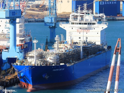
 MANTA BEYLERBEYI
Current Status
Where is the vessel?
MANTA BEYLERBEYI is currently in 28 nm W of Okha, based on AIS data received less than 1h ago.
Latest AIS update:
Current position: 22.31437° N, 68.60800° E (28 nm W of Okha)
Average speed (last 7 days): Loading…
Average speed (last 30 days): Loading…
Vessel profile: MANTA BEYLERBEYI is a Tanker with dimensions m x m.
This page combines live AIS, route history, probable destination signals, nearby traffic, and port activity for practical vessel monitoring.
The current position of vessel MANTA BEYLERBEYI is 22.31437 lat / 68.60800 lng. Updated: 2026-05-15 14:15:31 UTCNearest reference points:
- 13 nm W of Måndvi
- 49 nm S of Positra
- 54 nm S of Positra
Currently sailing under the flag of Panama ![]()
Details:
Live Vessel MANTA BEYLERBEYI Analytics (details, animations, etc.)
Recent AIS points (UTC):
2026-05-15 10:36:27 UTC · 22.31277, 68.60764 · SOG 0.1 kn · COG 322°2026-05-15 11:30:27 UTC · 22.31367, 68.60804 · SOG 0.5 kn · COG 290°
2026-05-15 13:33:27 UTC · 22.31445, 68.60795 · SOG 1.4 kn · COG 261°
2026-05-15 14:15:31 UTC · 22.31437, 68.60800 · SOG 0.2 kn · COG 244°