 vesseltracker.com
 HOANG ANH 18
Current Status
Where is the vessel?
HOANG ANH 18 is currently in 333 nm S of Tsiombe, based on AIS data received less than 1h ago.
Latest AIS update:
Current position: 30.79469° S, 46.35449° E (333 nm S of Tsiombe)
Average speed (last 7 days): Loading…
Average speed (last 30 days): Loading…
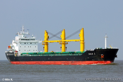
Vessel profile: HOANG ANH 18 is a Bulk Carrier with dimensions m x m.
This page combines live AIS, route history, probable destination signals, nearby traffic, and port activity for practical vessel monitoring.
The current position of vessel HOANG ANH 18 is -30.79469 lat / 46.35449 lng. Updated: 2026-05-13 22:05:26 UTCNearest reference points:
- Open sea, approx. 402 nm off the nearest listed port
- Open sea, approx. 403 nm off the nearest listed port
- Open sea, approx. 404 nm off the nearest listed port
Currently sailing under the flag of Panama ![]()
Details:
Live Vessel HOANG ANH 18 Analytics (details, animations, etc.)
Recent AIS points (UTC):
2026-05-13 18:26:22 UTC · -30.54836, 46.87207 · SOG 9 kn · COG 244°2026-05-13 19:36:40 UTC · -30.62167, 46.70667 · SOG 7 kn · COG -1°
2026-05-13 19:51:40 UTC · -30.63500, 46.66833 · SOG 8 kn · COG -1°
2026-05-13 22:05:26 UTC · -30.79469, 46.35449 · SOG 8.5 kn · COG 241°